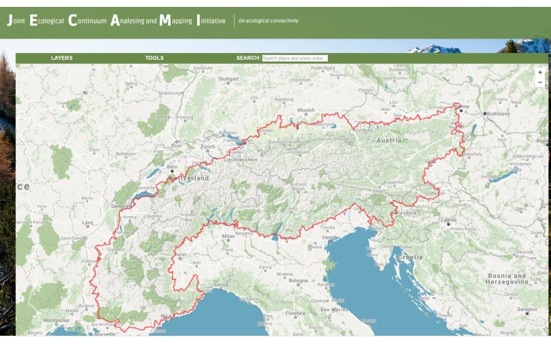
JECAMI is an online application that facilitates the analysis of ecological connectivity in the European alpine region. Zoom to your area of interest and discover the values of different connectivity indicators in the Layers menu. If you have a kml layer of your area, just upload it to the CSI Analysis Tool and get a mean of the indicator values for this region. The Continuum Suitability Index is a combined analysis of structural landscape connectivity and landscape permeability. The landscape is considered as a Matrix where each part or patch promotes more or less the ecological connectivity. The CSI-Tool is not thought as a planning tool, but it rather gives a first insight in the initial situation.