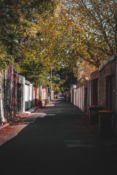
Do you need to map individual urban trees? Here are some tools and methods that use modern data technology.
Treepedia: Exploring the Green Canopy in cities around the world. Treepedia measures the canopy cover in cities. Rather than count the individual number of trees, we’ve developed a scaleable and universally applicable method by analyzing the amount of green perceived while walking down the street. The visualization maps street-level perception only, so your favorite parks aren't included! Presented here is preliminary selection of global cities.
RegisTree: Automated catalog of street trees to map urban trees by combining experts, tree lovers and machines.
Opentreemap: Urban street trees have myriad proven benefits for communities including providing shade, improving air quality, assisting with stormwater runoff, raising property values, decreasing utility bills, and enhancing the look and feel of communities. But effectively managing urban forests and calculating the ecosystem benefits of trees, while engaging the communities who benefit from them, can be a daunting task.
OpenTreeMap can be used in a single municipality or cover a broader geographic region with many communities or organizations
Inaturalist: A cellphone app that can be used to recognize and map single trees.
Google map engine: These composites are created from all the scenes in each annual period beginning from the first day of the year and continuing to the last day of the year. All the images from each year are included in the composite, with the greenest pixel as the composite value, where the greenest pixel means the pixel with the highest value of the Normalized Difference Vegetation Index (NDVI).
Research paper: From Google Maps to a Fine-Grained Catalog of Street trees