

Resource description:
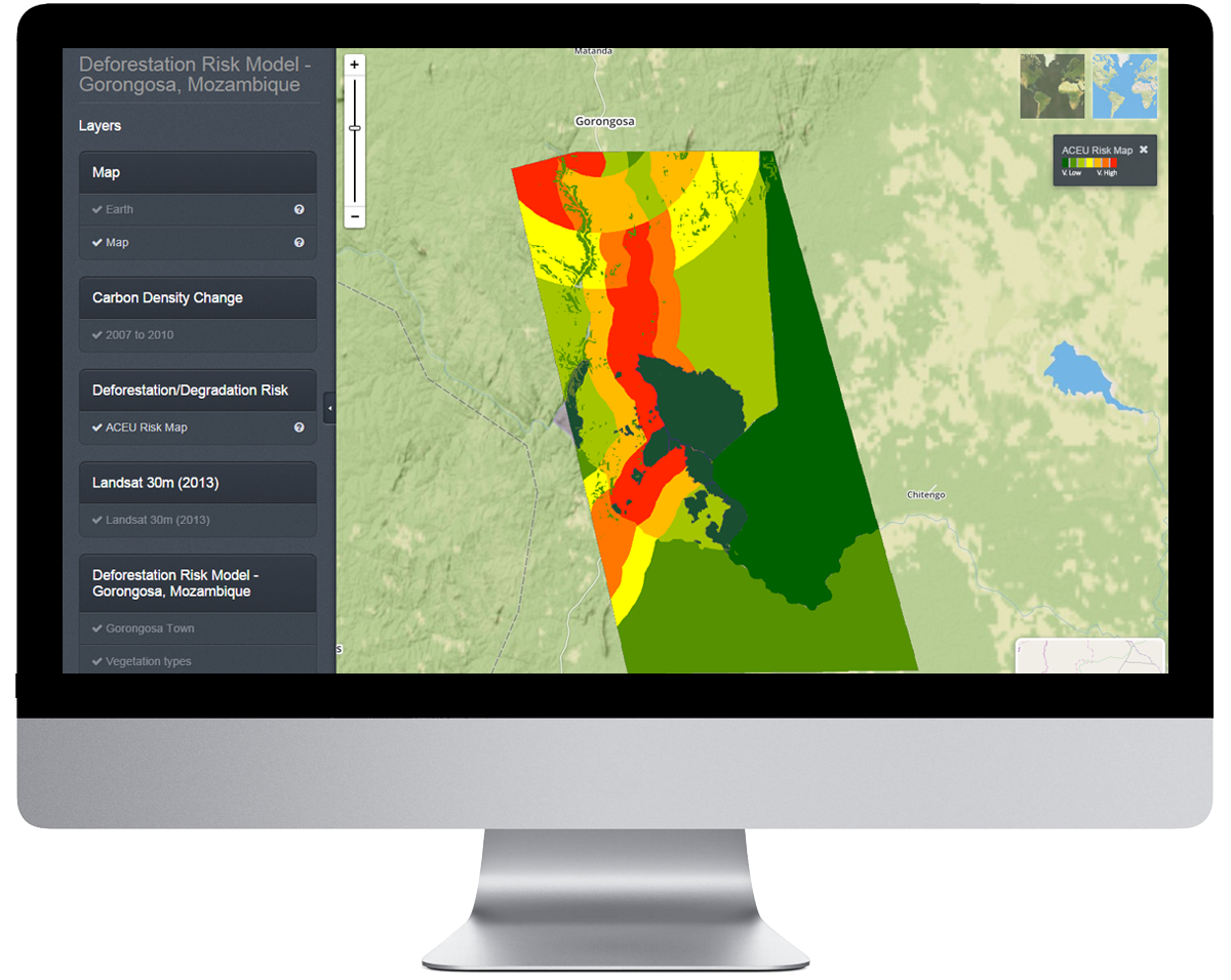
The Ecometrica Platform brings together sustainability, environment, risk and business management with geospatial intelligence and mapping applications to allow businesses, governments and organisations to make smarter decisions and build long-term value.
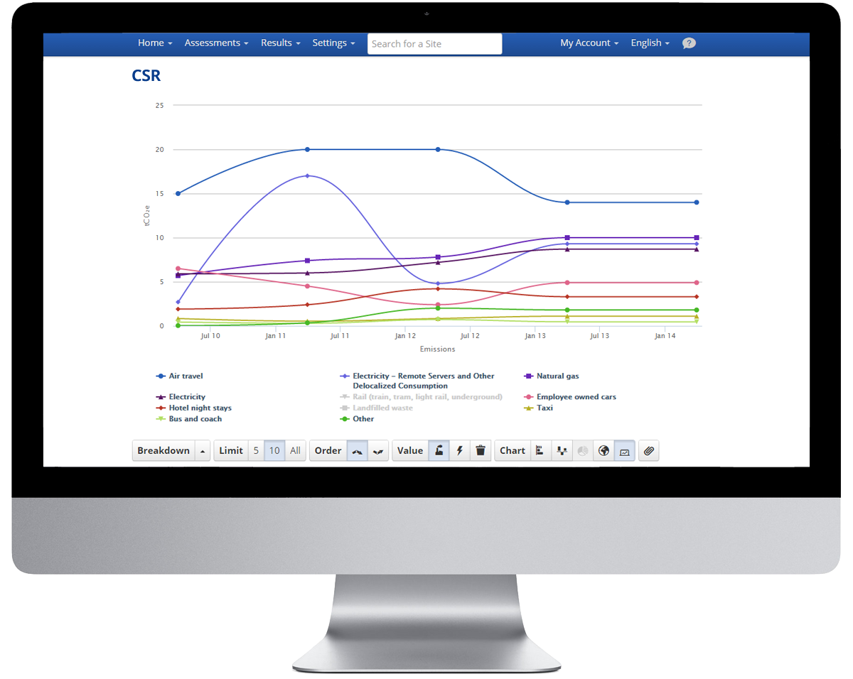
The Platform is arranged into four module suites: Sustainability, Mapping, Reporting, and Advanced. All our software modules are fully integrated and interact seamlessly, so you can pick the ones you need and leave out the ones you don’t.
Ecometrica is an end-to-end environmental software-as-a-service (SaaS) provider that is recognised as one of the world's top Sustainability brands. We have unrivalled experience in helping businesses and governments identify risks and opportunities by combining satellite earth observation data with local information and business intelligence on the award-winning Ecometrica Platform.
Ecometrica brings together recognised experts in environmental and sustainability accounting, and our software supports all aspects of sustainability planning, operations and reporting. Our data and software services are available worldwide through our offices in London, Boston, Edinburgh and Montreal.
Author/Contact:
Ecometrica
Contact Sarah Middlemiss
sarah.middlemiss@ecometrica.com
0131 662 4342
Images
Requirements:
- The Ecometrica Platform runs on the cloud, so all end users need to access the platform is an internet connection. The simple mapping interface is accessed via a web browser where users can identify areas of interest and query data to automate actionable
- Bespoke applications can be developed and managed by Ecometrica, or organisations can use the platform to manage their own spatial and earth observation derived data on ecosystem services
Advantages:
- Enables organisations to move beyond fragmented, offline data collection and storage, to effective creation and management of useable cotent
- Stakeholders can interact with spatial data on ecosystem services and leverage its value, without requiring expert knowledge in GIS or Remote Sensing as has traditionally been the case.
- Complex reports can be rapidly generated for areas of interest, while the data is stored securely on cloud services, reducing processing and transfer costs, controlling IP and facilitating version control
Constraints:
- It is a content management system, allowing users to display, disseminate and query data in a user friendly way. Although in can perform complex queries on the fly, it is not a modelling tool.
Licence:
- Commercial
Development stage:
- Full, working product
Quality assurance:
- Scientific peer review
- Accreditation
- Professional references
- Own QA and testing