Image:

Resource description:
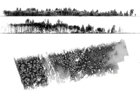
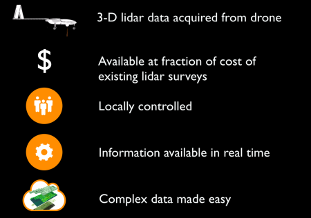
High-performance lidar scanner for environmental surveys.
Flown on a fixed wing UAV with advanced specification.
Long duration (8 hrs) and long range (1,000 km).
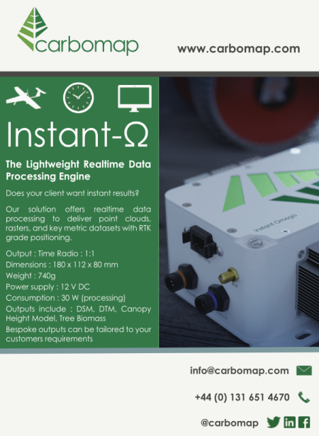
Real time lidar data processing: by the time the drone lands, your inventory information inhand!
Author/Contact:
Dr. Genevieve Patenaude
Carbomap Head Office
Edinburgh Centre for Carbon Innovation
High School Yards
Edinburgh EH1 1LZ
United Kingdom
+44 (0) 7887 551724
info@carbomap.com
@carbomap
carbomap
carbomap
carbomap
Publication date:
Images
Licence:
- Commercial
Development stage:
- Early access - alpha phase
Quality assurance:
- Scientific peer review
Resource link:

