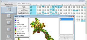
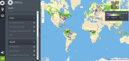
Image:

Resource description:
CLUMondo is a forward looking, dynamic simulation model that simulates land system changes in response to various types of exogenously defined demand and endogenously defined transition rules (van Asselen and Verburg, 2013)
Author/Contact:
Peter H. Verburg
VU University Amsterdam
De Boelelaan 1087
1081 HV Amsterdam
The Netherlands
Publication date:
Requirements:
- -knowledge and data of land systems
- -knowledge of modelling and GIS
- -GIS software for data preparation and analysis of results
Advantages:
- -Addresses ecosystem service demand as a driver of land use change
- -Models land systems as a whole rather than only its appearing land cover
Constraints:
- na
DOI reference:
http://dx.doi.org/ 10.1111/gcb.12331
http://dx.doi.org/10.1016/j.apgeog.2016.1007.1010
http://dx.doi.org/110.1016/j.gloenvcha.2016.1006.1014
Additional information:
China Dry Zone
Laos
Mediteranean (incl. north Africa)
Licence:
- Public/open source
Development stage:
- Full, working product
