Image:

Resource description:
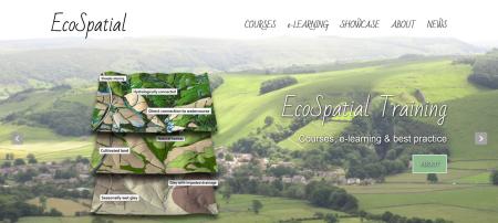
To meet the growing demand for subject-specific and relevant GIS training courses Westcountry Rivers Trust have developed a series of intensive GIS short-courses specifically tailored to develop and disseminate best practice and technical GIS skills in the use of GIS, in practitioners engaged in catchment management planning, landscape ecology, fisheries science, river restoration, ecology and conservation biology. To support or enhance the delivery of face-to-face training the Westcountry Rivers Trust have also developed an online GIS training resource: EcoSpatial Training.
Author/Contact:
Westcountry Rivers Trust, Rain-Charm House, Kyl Cober Parc, Stoke Climsland, Callington, Cornwall, PL17 8PH.
+44 (0) 1579 372140
Publication date:
Requirements:
- Need to log-in to access EcoSpatial e-learning portal.
Advantages:
- Training for practitioners to develop their GIS and spatial data skills and, in so doing, build capability in their organisations.
- Short-courses specifically tailored to develop and disseminate best practice and technical GIS skills in the use of GIS.
- Online GIS training resource to support or enhance the delivery of face-to-face training.
Constraints:
- N/A
Licence:
- Public/open source
Development stage:
- Full, working product
Resource link: