Resource description:
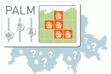
The spatial decision support tool PALM aimed at supporting the allocation of urban development zones. A GIS-based MCDA approach was integrated into a web-based platform that allows distributing a requested amount of urban development areas within a selected perimeter based on ecosystem services and locational factors. The short running time of different user-defined scenarios allows exploring consequences and tradeoffs between decisions in an interactive way, thus making it a useful tool to support discussions in participatory planning processes.
Author/Contact:
Adrienne Grêt-Regamey
PLUS - Planning of Landscape and Urban Systems
IRL
ETH Zürich
Requirements:
- register at www.palm.ethz.ch (free)
Advantages:
- Short running time. Combination of ecosystem services and location factors supporting inter-communal planning (across municipalities)
- Considering ecosystem services in planning can alter urban development patterns. A web-based tool integrating ecosystem services fosters transdisciplinarity. Integrating ecosystem services in spatial planning is most effective in urban peripheries for sec
- Approach can be applied at other scales and locations. Web-platform is extendable (uploading individual data)
Constraints:
- spatial resolution limited to 1ha and covering Switzerland only
Uses of this resource:
The short running time of different user-defined scenarios allows exploring consequences and tradeoffs between decisions in an interactive way, thus making it a useful tool to support discussions in participatory planning processes. The results of the application of PALM in a case study region in Switzerland show that integrating ecosystem services when distributing urban development areas is particularly effective in urban peripheries, where building zones are shifted towards urban centers securing the productive soils located around cities. This shift of building zones from the urban peripheries to the urban centers when considering ecosystem services is less pronounced in rural areas, as they provide fewer ecosystem services. However, the results also show that integrating ecosystem services in spatial planning needs to be embedded in the right policy context: Ecosystem services can only be traded-off for locational factors if the perimeter of the case study ranges across municipalities.
DOI reference:
http://dx.doi.org/10.1016/j.landurbplan.2016.05.003
Licence:
- Free, no licence
Development stage:
- Full, working product
Quality assurance:
- Scientific peer review
- Professional references