Image: INTERLACE MOOC on Nature-based Solutions: (5) URBAN DESIGN for resilient cities, using social and nature-based tools Urban areas across the globe are facing unprecedented challengespollution, climate change, urban sprawland traditional solutions are falling short....
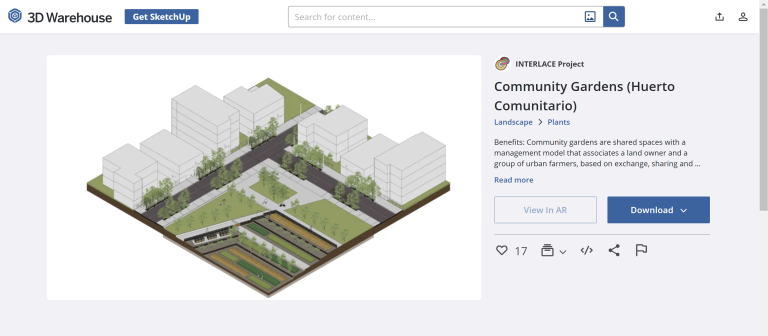
Image: Nature-based solutions library in Sketchup 3D Warehouse Developing the use of NBS in urban public spaces requires urban design practices to evolve. Planners and designers are increasingly aware of and in...
Image: INTERLACE report on implemented engagement programmes The INTERLACE project has been proactive in targeting citizens as part of its objective to increase public awareness and understanding of urban eco...
Image: INTERLACE MOOC on Nature-based Solutions: (3) CO-CREATION as a form of collaborative NbS governance Urban areas across the globe are facing unprecedented challengespollution, climate change, urban sprawland traditional solutions are falling short....
Image: INTERLACE Transversal City Impulse Paper This brief highlights nine key findings emerging from the INTERLACE project based on conducted research and the partner cities experiences as a bas...
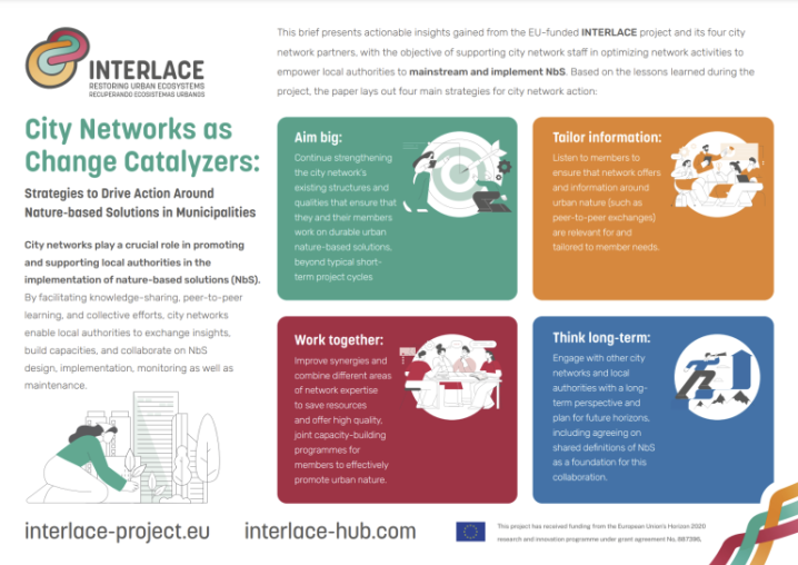
Image: City Networks as Change Catalyzers: Strategies to Drive Action Around Nature-based Solutions in Municipalities City networks play a crucial role in promoting and supporting local authorities in the implementation of nature-based solutions (NbS). By facilitat...
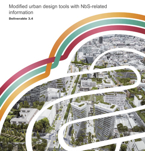
Image: INTERLACE Modified urban design tools with NbS-related information In the context of rapid urbanization and environmental degradation, the integration of nature-based solutions (NbS) into urban design has emerged a...
Image: Planning, designing and monitoring of nature-based solutions: guidelines to urban transformations Contemporary urban planning faces multiple challenges that require innovative and holistic solutions. Rapid urbanisation, climate change, social in...
Image: A ‘Climate Turn’ in Forest Litigation: New Strategies for Forest Protection Forest governance perspectives highlighting a multidimensional approach to accountability.
Image: Europe’s Nature Restoration Law has now been adopted. What comes next? The European Union has recently adopted the Nature Restoration Law to address the widespread degradation of ecosystems...
Image: Rewilding Beech-dominated Temperate Forest Ecosystems: Effects on Carbon Stocks and Biodiversity Indicators Maximising carbon stock and habitat availability is a critical objective of contemporary forest management, with primary forests serving a crucial ...
Image: Simulating Endogenous Institutional Behaviour and Policy Implementation Pathways Within the Land System Policy interventions have substantial effects on land use change, providing key levers for multiple objectives, including mitigating...