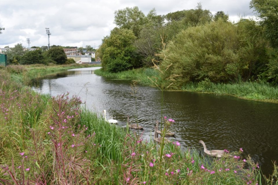
The project has two parts along the canal corridor between Firhill and Port Dundas. Originally the home of a clay quarry when the canal was built in the 1700s, the Claypits became a Local Nature Reserve (LNR) in May 2016 as a result of working with Friends of Possilpark Greenspace. The project will also transform the current Vacant and Derelict Land site at Sighthill.
Extensive community engagement sessions were conducted from 2015-2016 by Scottish Canals and Glasgow City Council, including a charrette at Port Dundas which recognised the role green and blue infrastructure could play in regenerating the area. As a result of this, plans to develop the area included extending the path network, re-designing entrances, installing boardwalks, creating picnic areas and building a bridge across the canal to improve access.
The second part of the project is the ‘Smart Canal’ and this forms part of the North Glasgow Integrated Water Management System and aims to establish Glasgow as a ‘sponge city’. Due to a wet climate, large areas of impermeable surfaces and limited capacity in the combined sewer system, the area is at high risk of flooding. The project developed with the council, Scottish Canals and Scottish Water under the umbrella of the Metropolitan Glasgow Strategic Drainage Partnership (MGSDP). The key aims of the MGSDP are flood risk reduction, water quality improvement, economic development and habitat improvement. The project received funding from the Green Infrastructure Fund in 2016 alongside its ‘sister project’ in Greater Easterhouse. Other sources of funding include Glasgow City Deal, Sustrans and Scotland’s 8th City – the Smart City.
Key aims:
- Increase access to and enjoyment of the Claypits Local Nature Reserve
- Protect species and enhance habitats
- Reduce risk of flooding in North Glasgow
COMMUNITY
Improved access to the LNR and canal has been achieved by construction of a new all abilities path from Ellesmere Street through to Old Basin House, this links the Possilpark area with the Claypits, the canal and the city centre. Since the path opened in March 2018, people counters have recorded around 30,000 visitors to the Claypits in the first six months. The construction of the bridge over the canal and the Garscube path coincide with construction of a new health centre (specialising in addiction and child/adolescent mental health services) on Garscube Road. The NHS and the Green Exercise Partnership are partners in this project and see the LNR and canal as an opportunity for ‘green prescriptions’. The ranger has been maintaining the LNR, delivering engagement with local schools, leading group visits and events in the greenspace and has overseen habitat enhancement work (woodland regeneration, restoration and monitoring flora and fauna)
FLOODING
A key aspect of this project, providing an innovative and green solution, is the Smart Canal. The solution to North Glasgow’s surface water run-off issue is to use sensors and predictive weather forecasting to predict heavy rainfall events. The reservoirs that drain into the canal are closed, which lowers the water level of the canal up to 10cm and provides an end point for surface water drainage in the local area, the canal then receives any additional surface water flow from the land. This will redirect surface water from homes and businesses by providing capacity for 55,000m3 of extra capacity for floodwater – equivalent to 22 Olympic swimming pools.
ECONOMIC
The smart canal will free up around 100ha of vacant and derelict land for investment, regeneration and development in the areas of Sighthill, Hamiltonhill, Ruchill, Cowlairs and Dundashill. This project is also saving money because the Smart Canal costs a fraction of the alternative ‘grey’ solutions (traditional drainage systems).
Grey solution = £500 million
Green solution = £50 million
- Developing climate change adaptation; improving risk management and resilience
- Flood peak reduction
- Reduce flood risk
- Reduce load to sewer system
- Reduce run-off
- Reducing temperature at meso or micro scale
- Developing climate change mitigation
- Carbon sequestration and storage
- Restoring ecosystems and their functions
- Greater ecological connectivity across urban regenerated sites
- Improve connectivity and functionality of green and blue infrastructures
- Increase Biodiversity
- Increase quality and quantity of green and blue infrastructures
- Increased cultural richness and biodiversity
- Enhancing sustainable urbanisation
- Changing image of the urban environment
- Improve air quality
- Improve water quality
- Increase accessibility to green open spaces
- Increase amount of green open spaces for residents
- Increase awareness of NBS solution & their effectiveness and co benefits
- Increase communities’ sense of ownership
- Increase population & infrastructures protected by NBS
- Increase social interaction
- Increase well-being
- Increase willingness to invest in NBS
- Provision of health benefits
- Reduce costs for water treatments
- Social inclusion
