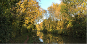
Investigating ecosystem services and compensation measures for biodiversity impacts in Essex, United Kingdom
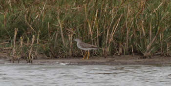
Assessing ecosystem service delivery and the options for biodiversity offsetting (compensation measures for biodiversity impacts). Also, the future resilience of offsetting in the context of climate change is being studied.