Image: Can we halt biodiversity loss under the economic growth paradigm? Economic growth explicitly prevails in most policies, although it implies large resource consumption and thus amplified pressures on biodiversity. ...
Image: Restoration and repair of Earth's damaged ecosystems Given that few ecosystems on the Earth have been unaffected by humans, restoring them holds great promise for stemming the biodiversity crisis and ...
Image: LIFE programme: Short summaries of projects from the LIFE 2019 call for proposals This EU funding for the LIFE programme projects triggered total investments of nearly 590 million to help meet these projects' ambitious goals for ...
Image: Biodiversity, natural capital and the economy - A policy guide for finance, economic and environment ministers Nature underpins all economic activities and human well-being. It is the worlds most important asset. Yet humanity is destroying biodiversity at an...
Image: How to make complexity look simple? Conveying ecosystems restoration complexity for socio-economic research and public engagement Ecosystems degradation represents one of the major global challenges at the present time, threating peoples livelihoods and well-being worldwide. E...
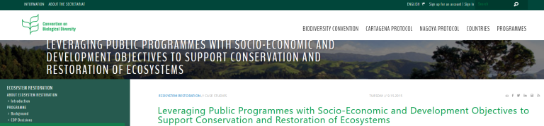
Image: Leveraging Public Programmes with Socio-Economic and Development Objectives to Support Conservation and Restoration of Ecosystems The Strategic Plan for Biodiversity 2011-2020 recognises that biodiversity underpins ecosystem functioning and the provision of ecosystem services ...
Image: Nature-Based Solutions for Restoration of Ecosystems and Sustainable Urban Development Cities are facing a broad range of social and environmental challenges due to the current pressure of global urbanization. Nature-based solutions a...
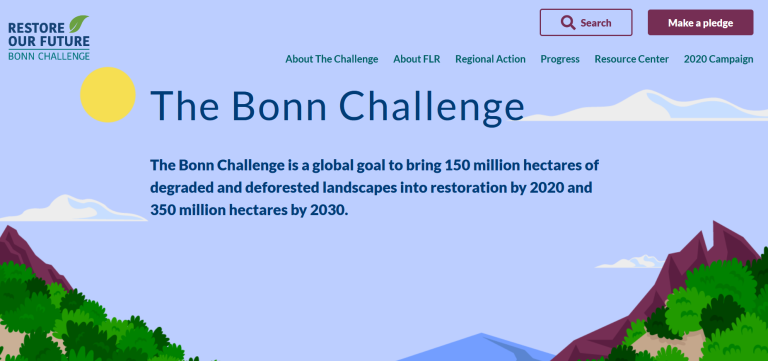
Image: The Bonn Challenge The Bonn Challenge is a global goal to bring 150 million hectares of degraded and deforested landscapes into restoration by 2020 and 350 million he...
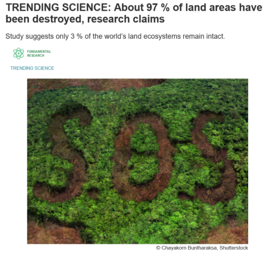
Image: TRENDING SCIENCE: About 97 % of land areas have been destroyed, research claims How many pristine places are left undisturbed by oil, gas and mining activities, as well as land development? What is the extent of this damage to ...
Image: NATURE-BASED SOLUTIONS: HARNESSING THE POTENTIAL FOR AMBITIOUS POST-2020 BIODIVERSITY OUTCOMES Nature-based solutions offer the transformative, whole-of-society approach needed to achieve the protection, restoration, and sustainable use of bi...
Image: Evaluating Ecological Restoration Success: A Review of the Literature Assessing the success of ecological restoration projects is critical to justify the use of restoration in natural resource management and to improv...
Image: What is Ecosystem Restoration Ecosystem restoration means assisting in the recovery of ecosystems that have been degraded or destroyed, as well as conserving the ecosystems that...