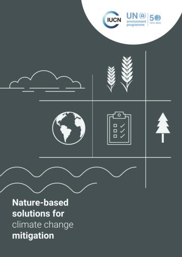
Image: Two Global Crises Interlinked — The need for balancing and win-win actions for nature and climate From the Nordic Pavilion: Two global crises interlinked: biodiversity loss and climate change. Actions to mitigate one should not worsen the other....
Image: A practical guide to using reflexive monitoring for nature-based solutions (+ready-to-use materials) Throughout the Connecting Nature guidebook 'A practical guide to using reflexive monitoring for nature-based Solutions', at the end of every chapte...
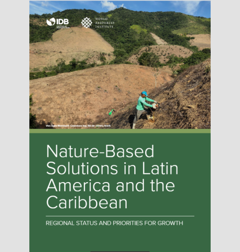
Image: Nature-Based Solutions in Latin America and the Caribbean As the world recovers from the global recession and pandemic, investment in development proj- ects and infrastructure is poised to surge (World Ban...
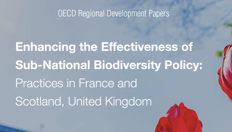
Image: Enhancing the effectiveness of sub-national biodiversity policy Sub-national governments have a key role in delivering on national and international biodiversity commitments. Drawing on policy practices from Sco...
Image: Innovating with Nature: Factors Influencing the Success of Nature-Based Enterprises Nature-based enterprises (NBEs) have recently emerged as important actors in the delivery of nature-based solutions (NbS) to societal challenges, b...
Image: Innovating with Nature: Factors Influencing the Success of Nature-Based Enterprises Nature-based enterprises (NBEs) have recently emerged as important actors in the delivery of nature-based solutions (NbS) to societal challenges, b...
Image: Innovating with Nature: Factors Influencing the Success of Nature-Based Enterprises Nature-based enterprises (NBEs) have recently emerged as important actors in the delivery of nature-based solutions (NbS) to societal challenges, b...
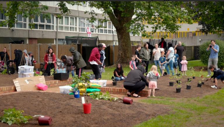
Image: Video: Unveiling of new edible garden in South Thamesmead, London With the help of input and design ideas from local residents, CLEVER City London, alongside Peabody and its appointed design partner, muf architect...
Image: Nature-Based Solutions for More Sustainable Cities: A Framework Approach for Planning and Evaluation There is a growing recognition and awareness that nature can help provide viable solutions to reduce vulnerability and generate value deploying the...
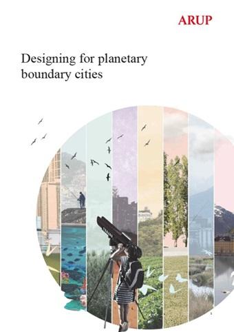
Image: Designing for planetary boundary cities The planetary boundaries signify the Earths capacity to tolerate change and set out the science-based limits that must not be surpassed if the Eart...
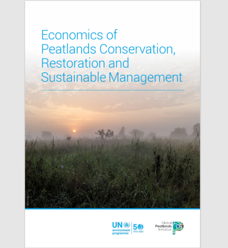
Image: Economics of Peatlands Conservation, Restoration and Sustainable Management Less than 3% of the Earths surface is covered by peatlands but they are the largest terrestrial organic carbon stock. Indeed, peatlands are capable...