Image: The BlueHealth Toolbox Guidance for urban planners and designers The BlueHealth Toolbox is for planners, designers and other decision-makers responsible for blue spaces. The tools provide the means to make compar...
Image: ZÖLD-KÉK INFRASTRUKTÚRA: "Zöldinfrastruktúra a 2021-2027-es programozási időszakban" című esemény előadás anyagai" A 2021. oktberben megrendezett Miniszterelnksg ltal szervezett "Zldinfrastruktra a 2021-2027-es programozsi idszakban" cm esemny elads anyagai, ela...
Image: Biodiversity and Ecosystem Services A business case for re/insurance Assessing biodiversity risks is complex as there is a massive underlying collection of risks. To help assess the risks and foster dialogue around b...
Image: The Little Book of Investing in Nature: A simple guide to financing life on Earth The Little Book of Investing in Nature aims to energise that dialogue by clearly laying out options for financing biodiversity conservation. While ...
Image: LEVERGING PRIVATE SECTOR INVESTMENTS IN ADAPTATION: The evolving role of climate finance in enabling a paradigm shift In order to draw cross-national lessons on how climate finance can be used to unlock private sector investments in adaptation, we analyzed global c...
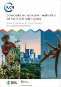
Image: Science-based ecosystem restoration for the 2020s and beyond The documenti presents recommendations of the Science Task Force (STF) of the UN Decade for Ecosystem Restoration, led by the International Union f...
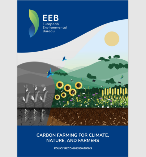
Image: Carbon Farming for Climate, Nature, and Farmers report The EU is promoting carbon farming as a new business model to deliver climate action in agriculture. To ensure the EU harnesses the full win-win-wi...
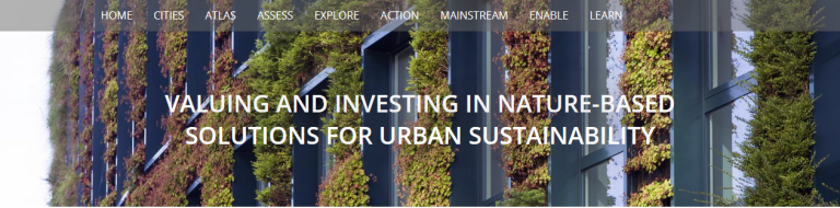
Image: Valuing and Investing in Nature-based Solutions for Urban Sustainability The implementation and mainstreaming of nature-based solutions to address urban sustainability challenges is highly dependent both on how they come...
Image: The virtual exhibition on urban nature The virtual exhibition on urban nature provides a collection of insights into the benefits, opportunities and challenges of mainstreaming nature-ba...
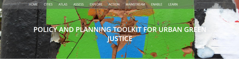
Image: Policy and Planning Toolkit for Urban Green Justice Based on qualitative interview data collected in 40 cities across Western Europe, the United States and Canada, the report presents a summary and a...
Image: MAINSTREAMING NATURE-BASED SOLUTIONS Climate Change This report specifically addresses mainstreaming nature-based solutions for solving the climate crisis in cities. Nature-based solutions are increa...
Image: Innovation Pathways for Urban Forests Urban forest is an emerging concept which not only incorporates trees, but other vegetation in streets, parks, plazas, river embankments, wetlands,...