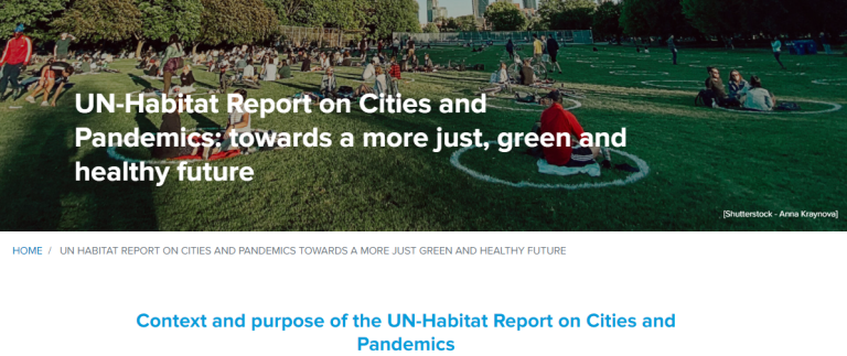
Image: UN-Habitat Report on Cities and Pandemics: towards a more just, green and healthy future The UN-Habitats report - Cities and Pandemics: Towards a more just, green and healthy future evidences how cities can reduce the impact of future ...
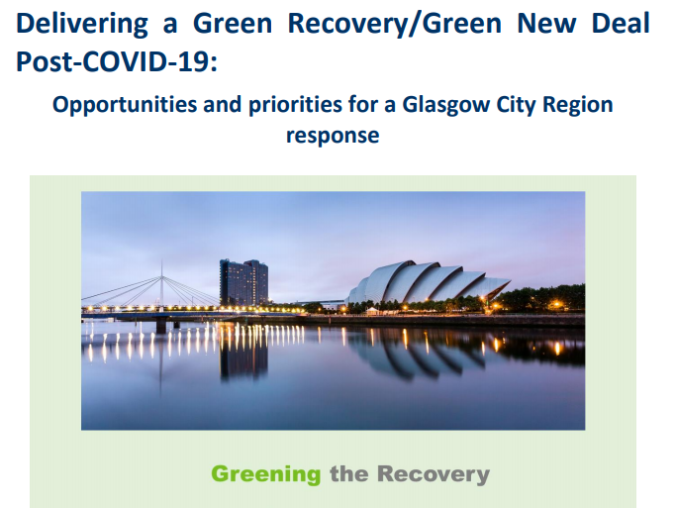
Image: Delivering a Green New Deal post COVID-19 – opportunities and priorities for a Glasgow City Region response The paper has reviewed the recent green recovery literature, and considered the role that such interventions could play post-COVID-19 and identifie...
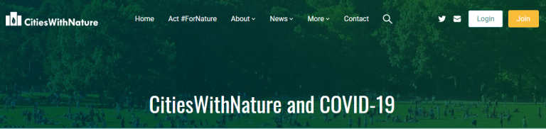
Image: CitiesWithNature and COVID-19: Collection of resources In the time of the COVID-19 global pandemic, our network of cities and regions is on the frontline of response. The pandemic is calling us to incre...
Image: Human-Nature Interactions: Perspectives on Conceptual and Methodological Issues Urban agglomerations expose citizens to ever-increasing risks from heat, air pollution, noise stress, and reduced nature connectedness. Concurrentl...
Image: UPSCALING CORPORATE SOLUTIONS FOR BIODIVERSITY This report seeks to describe the actual levers and modes of action that are successfully being used by business, and also to identify the conditio...
Image: FUTURE BRIEF: The solution is in nature Nature-based solutions are our best ally in the fight against climate change and help deliver the EU Biodiversity Strategy for 2030. These solution...
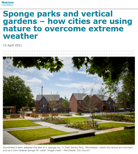
Image: Sponge parks and vertical gardens – how cities are using nature to overcome extreme weather As the worlds climate changes, scientists expect an increase in the frequency and intensity of extreme weather events, such as the heavy rainfall t...
Image: Nature Based Solutions – our vital ally against biodiversity loss and climate change Nature-based Solutions (NbS) are key in addressing the multiple crises faced by humanity: economic, societal, environmental and health crises are a...
Image: Greater Manchester Natural Capital User Guide The User Guide gives an overview with links to the range of natural capital tools available, with step by step instructions on how to use them. Sh...
Image: International Good Practice Principles for Sustainable Infrastructure The International Good Practice Principles for Sustainable Infrastructure set out ten guiding principles that policymakers can follow to help integ...
Image: Urban landscapes and climate change: the contribution of landscape architects to improving the quality of life The Report "Urban landscapes and climate change: the contribution of landscape architects to improving the quality of life" is concerned with the p...
Image: Urban Nature Maps for Glasgow & Edinburgh The maps show Edinburgh and Glasgow as a cities of nature, bringing green and blue spaces to the fore the parks, woodlands, playing fields, nature...