Image: ECOMIMICRY (TURAS) Innovative landscape design recommendations for maximising the biodiversity value of multi-functional urban green infrastructure (UGI) - designing ...
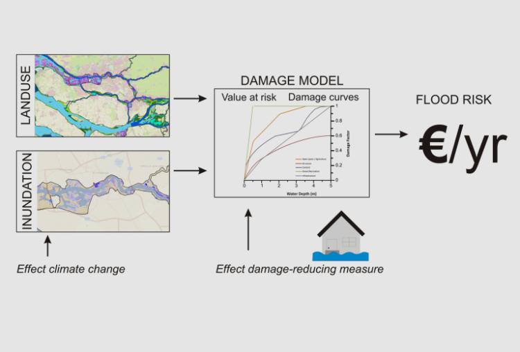
Image: Flood Damage Assessment Methodology for assessing direct and indirect flood based economic losses to allow prioritisation and evaluation of adaptation measures. ...
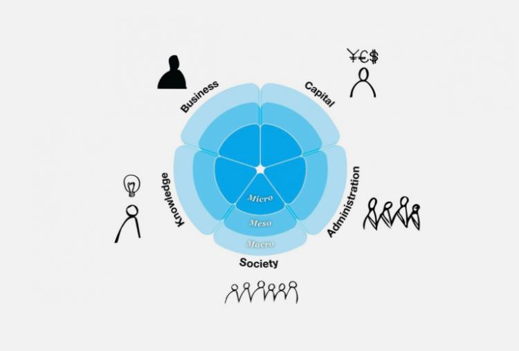
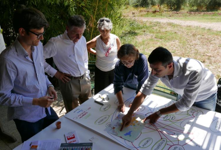
Image: Penta-helix Stakeholder Management Discussion tool to map stakeholder interests and explore ways of negotiating social complexity. ...
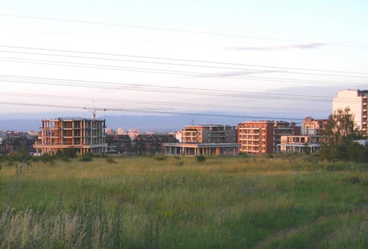
Image: Sprawl Monitor Toolkit for monitoring urban sprawl and evaluating threats to sustainability. ...
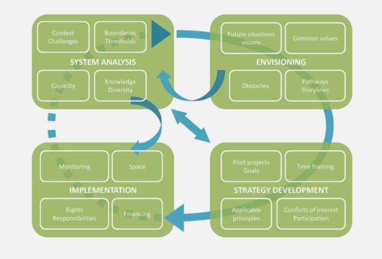
Image: 4C Transitions Methodology for planning and realising inclusive local transition activities. ...
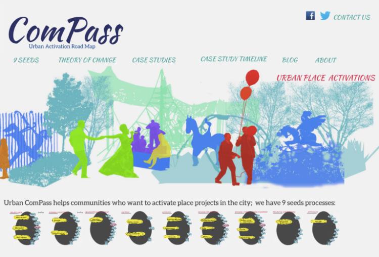
Image: ComPass: Urban Activation Road Map Methodology to 'navigate' the process of activating community based projects. ...
Image: Green Values Guidelines to identify, measure and articulate the multifunctional benefits of urban green infrastructure (UGI) projects in order to support the de...
Image: Ready 4 Climate Change Quick check tool to activate stakeholders and their knowledge on climate change adaptation. ...
Image: Sub-urban Infrastructure Payments Guidelines (including a toolkit) for estimating the funds needed for the development of primary and secondary infrastructure in sub-urban areas. ...
Image: Curatorial Planning Methodology for formulating a shared local vision using a systematic "transversal approach". ...
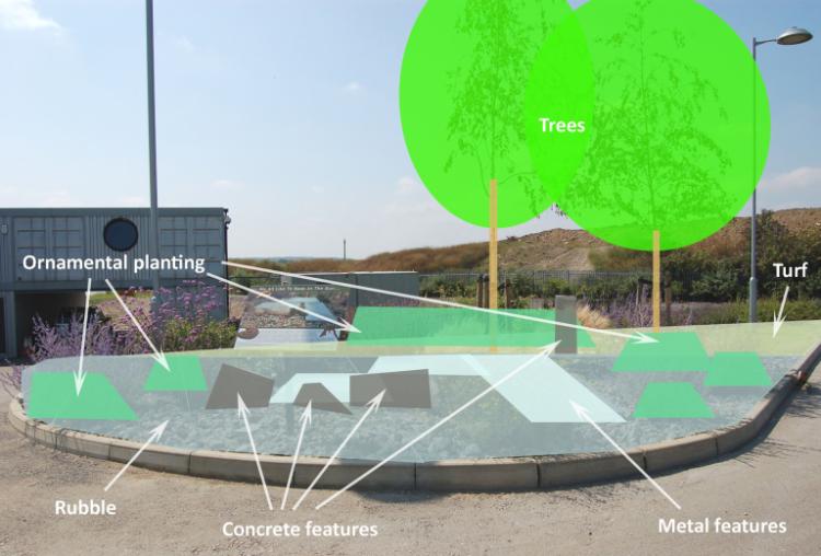
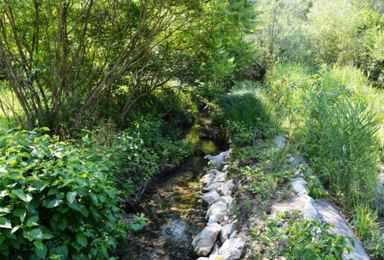
Image: Multibenefit Flood Retention Guidelines for the development of a flood retention reservoir fostering water quality, biodiversity, local amenity value & environmental education....
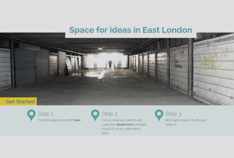
Image: Revitalizing Spaces Methodology (accompanied by an online platform) for identifying and activating underused spaces through community-led proposals. ...